 CAPTION CAPTION
|  PREVIOUS PREVIOUS |
 INDEX
INDEX
| NEXT (or just click anywhere on image) (or just click anywhere on image) |
| CAPTION
| PREVIOUS |
INDEX
| NEXT (or just click anywhere on image) |
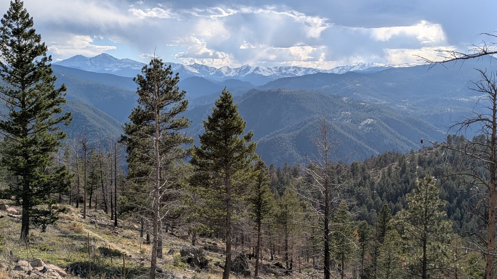
Getting back only took a bit more than an hour, and was easier than my route over the summit and down, but still quite tedious and occasionally treacherous. I lost the non-existent or faint trail several times and had to use the Strava map to get my bearings to "where was I before?"
K_SWduringTraverseZoom.jpg (279 Kb) (under photos/25/0503_PalisadeMtnCAP_CrashSite/)
By Alan Silverstein, ajs@frii.com (page updated Tue Mar 10 18:16:39 MDT 2026)