 CAPTION CAPTION
|  PREVIOUS PREVIOUS |
 INDEX
INDEX
| NEXT (or just click anywhere on image) (or just click anywhere on image) |
| CAPTION
| PREVIOUS |
INDEX
| NEXT (or just click anywhere on image) |
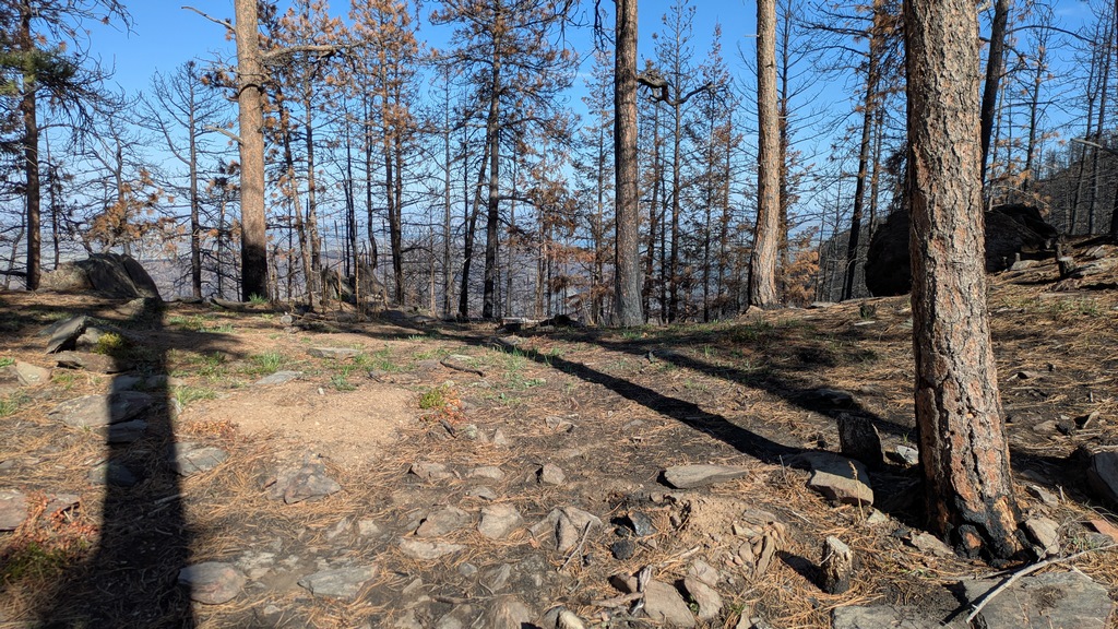
I found a much more direct path back out. This was a saddle on the north ridge I should have crossed on the approach. The preliminary NTSB report said this was about 75' above the wreck -- could be. Along the way I didn't see much evidence of past footprints, but there were some orange and green ribbons still in evidence of a marked path -- possibly how they carried the litter with survivor to this point for helicopter extraction.
I noted a lot of old cut tree stumps here and everywhere, some just a few inches in diameter, possibly due to fire mitigation thinning?
J_SaddleAboveSite.jpg (381 Kb) (under photos/25/0503_PalisadeMtnCAP_CrashSite/)
By Alan Silverstein, ajs@frii.com (page updated Tue Mar 10 18:16:39 MDT 2026)