 CAPTION CAPTION
|  PREVIOUS PREVIOUS |
 INDEX
INDEX
| NEXT (or just click anywhere on image) (or just click anywhere on image) |
| CAPTION
| PREVIOUS |
INDEX
| NEXT (or just click anywhere on image) |
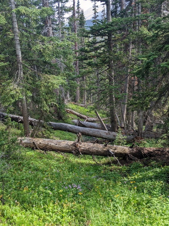
Naturally farther down and closer to Thunder Lake the route turned into a slow downhill slog. The last 20% took another 80%.
O4_DownedTimber.jpg (300 Kb) (under photos/23/0820_WildBasinSnowbank/)
By Alan Silverstein, ajs@frii.com (page updated Tue Mar 10 18:16:39 MDT 2026)