 CAPTION CAPTION
|  PREVIOUS PREVIOUS |
 INDEX
INDEX
| NEXT (or just click anywhere on image) (or just click anywhere on image) |
| CAPTION
| PREVIOUS |
INDEX
| NEXT (or just click anywhere on image) |
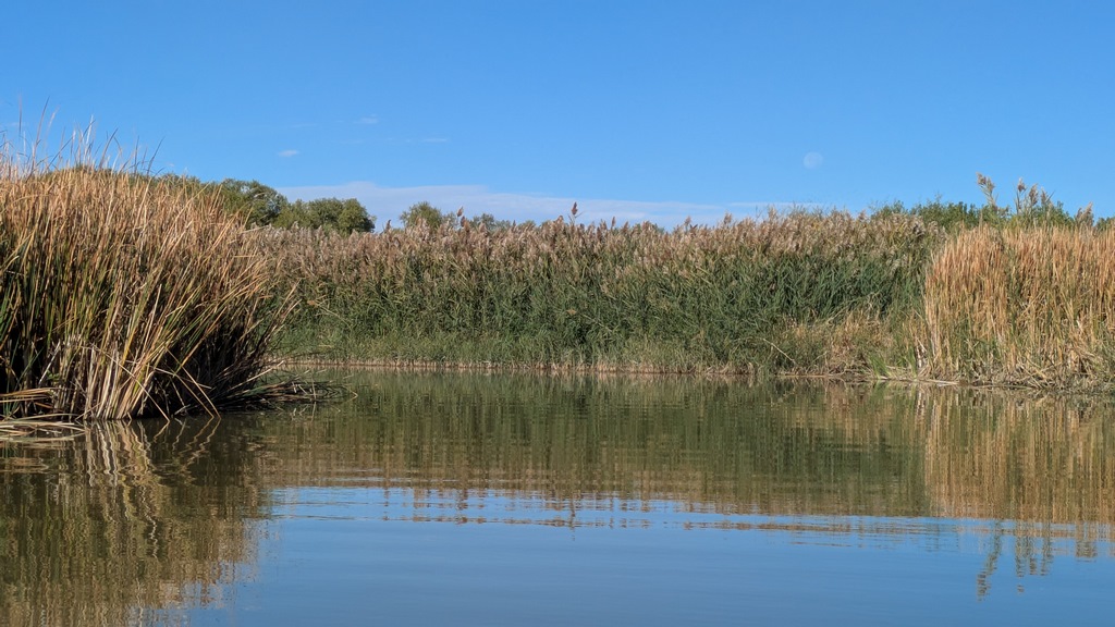
Google Maps calls this the lake's inlet, but I'm pretty sure that's backwards and it was the outlet, a deep channel nearly hidden by cattails and etc. (I tried to report the error to them.) I paddled up and back a few turns, but being it was over a mile more to where it crossed the highway, that was enough.
F2_LakeOutlet.jpg (204 Kb) (under photos/25/1008-11_VanColorado/)
By Alan Silverstein, ajs@frii.com (page updated Tue Mar 10 18:16:39 MDT 2026)