 CAPTION CAPTION
|  PREVIOUS PREVIOUS |
 INDEX
INDEX
| NEXT (or just click anywhere on image) (or just click anywhere on image) |
| CAPTION
| PREVIOUS |
INDEX
| NEXT (or just click anywhere on image) |
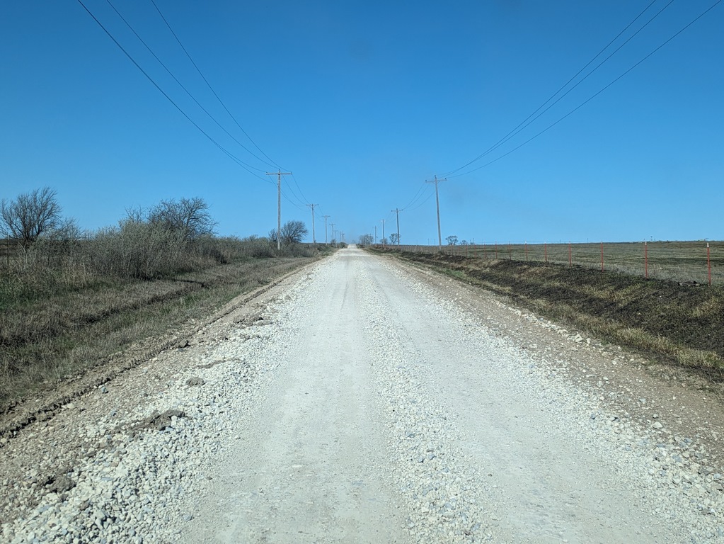
After leaving El Dorado SP heading for Salina and I-70, Google Maps actually directed me to take about 4 mi of unpaved county road west! Which was cool because I was in the Flint Hills area of eastern KS, and I found some (bland) samples of flint, including a few shell fossils, along this stretch.
A_KansasBackRoad.jpg (278 Kb) (under photos/24/0405-13_EclipseArkansas/0412-13_Kansas/)
By Alan Silverstein, ajs@frii.com (page updated Tue Mar 10 18:16:39 MDT 2026)