 CAPTION CAPTION
|  PREVIOUS PREVIOUS |
 INDEX
INDEX
| NEXT (or just click anywhere on image) (or just click anywhere on image) |
| CAPTION
| PREVIOUS |
INDEX
| NEXT (or just click anywhere on image) |
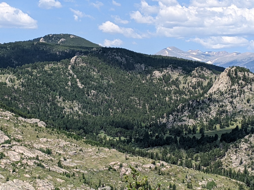
Zoom west toward Crosier Mountain, although I doubt that was the true summit, plus the Mummy Range in RMNP on the right. Some of the Crosier meadow 1.5 mi up from the east trailhead is visible at lower right.
E4_FurtherDownhill.jpg (379 Kb) (under photos/23/0722_SullivanGulch/)
By Alan Silverstein, ajs@frii.com (page updated Tue Mar 10 18:16:39 MDT 2026)