 CAPTION CAPTION
|  PREVIOUS PREVIOUS |
 INDEX
INDEX
| NEXT (or just click anywhere on image) (or just click anywhere on image) |
| CAPTION
| PREVIOUS |
INDEX
| NEXT (or just click anywhere on image) |
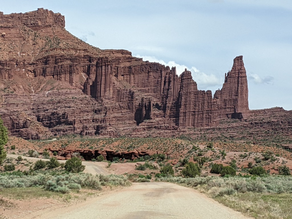
Windshield view approaching the Fisher Towers, with the upper trailhead (2.1 mi from the highway) visible on the left. The hike went around the Titan, the tallest tower on the right, out on the ridge behind and to the right of it.
I_NearingFisherTowersTH.jpg (330 Kb) (under photos/23/0430-0507_CabinUtah/0506_VotG_FisherTowers/)
By Alan Silverstein, ajs@frii.com (page updated Tue Mar 10 18:16:39 MDT 2026)