 CAPTION CAPTION
|  PREVIOUS PREVIOUS |
 INDEX
INDEX
| NEXT (or just click anywhere on image) (or just click anywhere on image) |
| CAPTION
| PREVIOUS |
INDEX
| NEXT (or just click anywhere on image) |
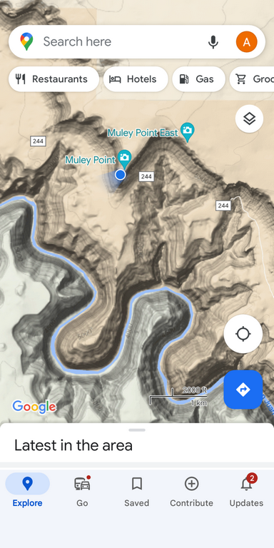
A few hours later I went here for the first time; 5.0 smooth, but risky if wet, BLM road miles from a turn at the top of the Moki Dugway, with no sign other than the road number. And yet there were dozens of vehicles scattered around both points to camp for the night!
L1_MuleyPointMap.png (426 Kb) (under photos/23/0430-0507_CabinUtah/0505_HVtoVotG/)
By Alan Silverstein, ajs@frii.com (page updated Tue Mar 10 18:16:39 MDT 2026)