 CAPTION CAPTION
|  PREVIOUS PREVIOUS |
 INDEX
INDEX
| NEXT (or just click anywhere on image) (or just click anywhere on image) |
| CAPTION
| PREVIOUS |
INDEX
| NEXT (or just click anywhere on image) |
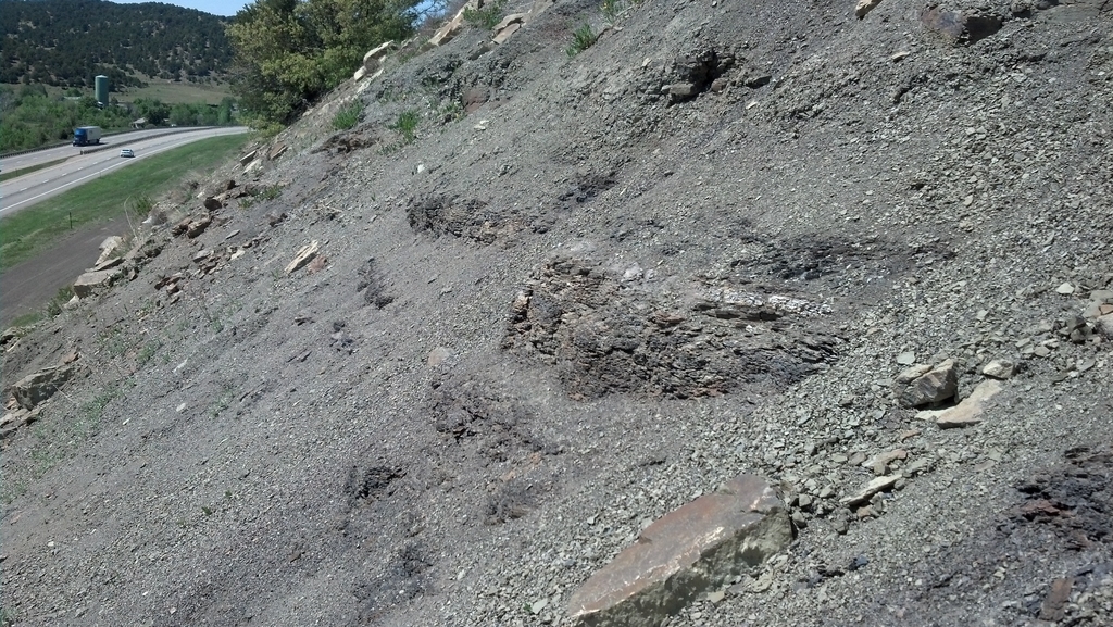
This is looking north along I-25 around mile marker 8.5 (down the frontage road from Starkville at exit 11). The white band is all that was visible of the K/T (now K/Pg) boundary after years of erosion. The first time here, I could see it all across the hill, plus there were obvious signs of recent digging.
This site is 4.87 miles ESE of the Longs Canyon exposure.
0525I1_StarkvilleKTNorth.jpg (698 Kb) (under photos/16/0525-30_NewMexicoVan/0525_TrinidadKT_Maloya/)
By Alan Silverstein, ajs@frii.com (page updated Tue Mar 10 18:16:39 MDT 2026)